EchoSphere
Satellite data and an AI planner that help cities prepare for heat and floods.
The problem
City planners have satellite and climate data, but it is hard to read, scattered, and rarely joined up with what residents see on the ground.
What we built
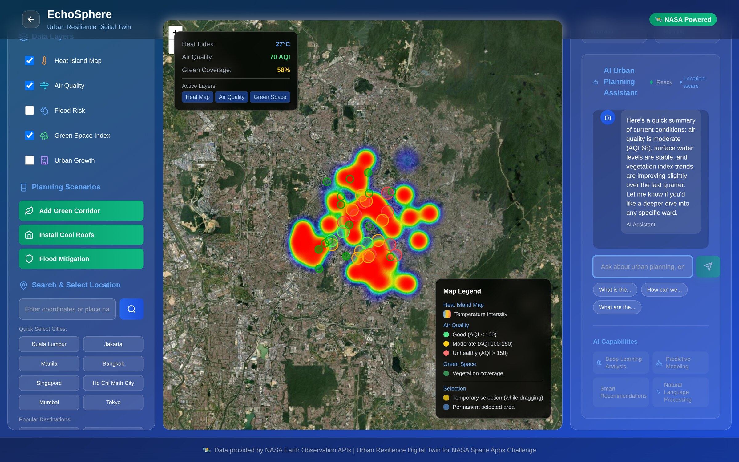
EchoSphere turns NASA Earth observation data into clear maps of heat, air quality, flood risk and green space, adds an AI assistant that answers planning questions in plain language, and lets residents report problems directly.
What it does for you.
See the city
Layered maps of heat islands, air quality, flood risk and green cover.
Try ideas
Test scenarios like green corridors, cool roofs and flood measures.
Ask in plain words
An AI planning assistant explains what the data means and suggests next steps.
Hear from residents
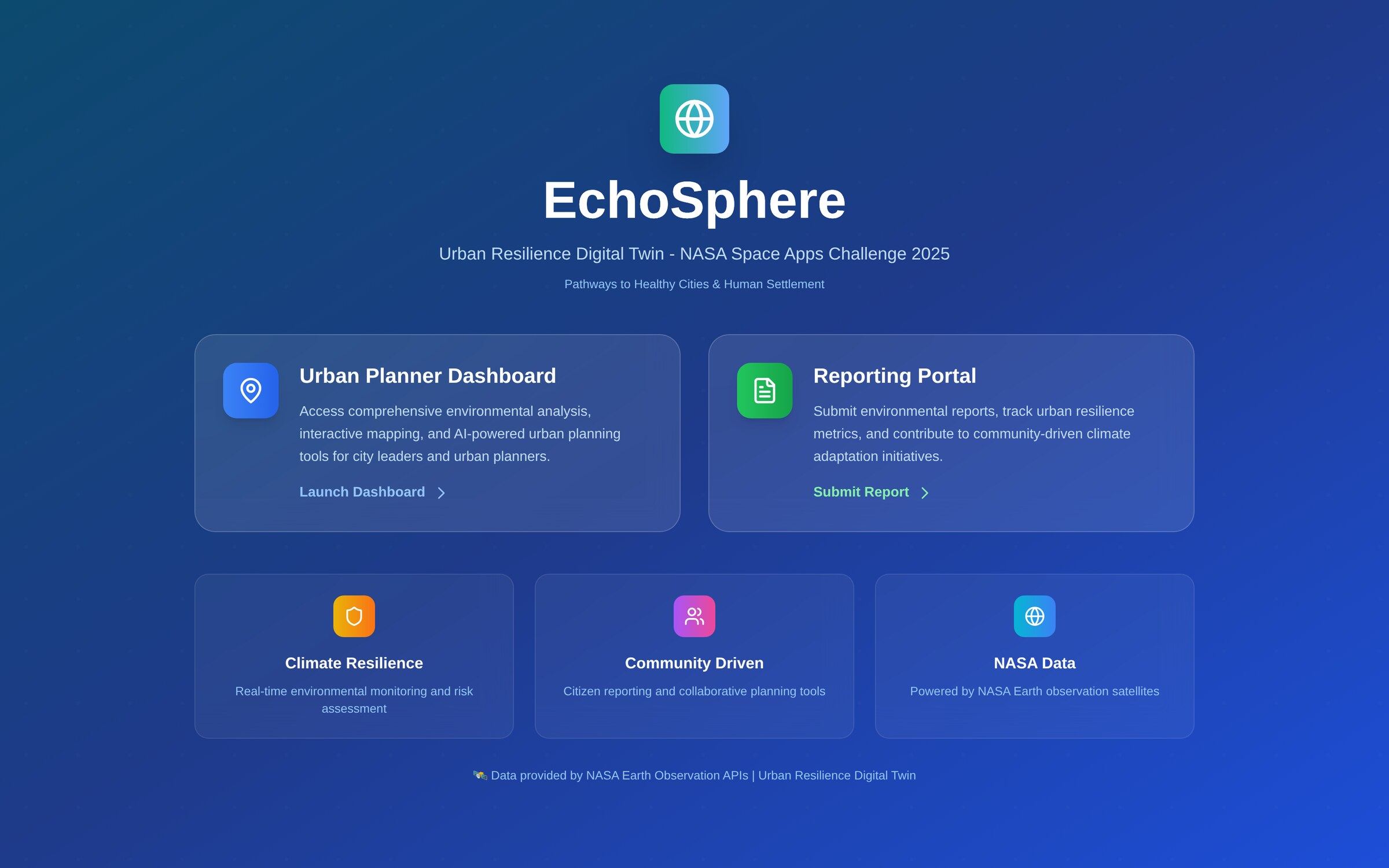
A reporting portal for floods, damage and local environmental issues.
Better-informed decisions about where to act first.
Where it stands
Built for the NASA Space Apps Challenge 2025.
NASA Space Apps Challenge 2025 entry
Have a problem like this?
We build systems like EchoSphere around the way your business actually works.